Lifestyle
19 October, 2025
How the Dumaresq River got its name
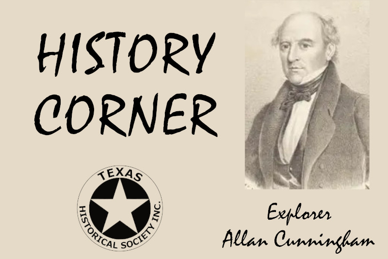
On an expedition proposed by the then Governor, Sir Ralph Darling, Allan Cunningham (born London 13 July1791 died Sydney 27 June 1839) along with five men, 11 horses and several dogs set out from Segenhoe near Scone, New South Wales on 30 April 1827.
The expedition was to explore the inland country west of the Great Dividing Range between the Hunter River and Moreton Bay. Cunningham took with him a Schmalcalder’s pocket compass, a chronometer, barometer and an odometer as a distance gauge.
Conditions were difficult and tiring. In crossing the Liverpool Range, the way was so steep that pack saddles were taken from the horses and carried on the men’s shoulders. They camped high on the ranges where the Liverpool Plains could be seen away to the horizon. Until this time, the expedition had been guided by Peter McIntyre.
On May 5, the group descended the northern slopes of the range and headed north to the Peel River. The open country consisted for the most part of iron bark and box trees.
Their first encounter with natives was not until they reached the Manilla River. There is no recording of any interactions between the groups other than observation by both parties.
On May 21, the expedition reached a broad river, later named the Gwydir by Cunningham. They passed through barren wooded country broken by ridges and gullies, passing close to the present site of Warialda. Changing direction, they came to the MacIntyre River, finding it little more than a channel of sand, the country being in the grip of a devastating drought. Concerned with the lack of water and vegetation for the horses, the possibility of bad weather and winter coming on, Cunningham determined to turn more to the east rather than persevere on a northerly course as originally planned. This course brought them upon the ‘handsome westward flowingj river, 30 yards (27.432 metres) wide and very deep’ which he named the Dumaresq (named for Lieutenant-Colonel Henry Dumaresq (1792-1838), brother-in-law and Private Secretary of Governor Ralph Darling). It was recorded that Cunningham caught the first Murray cod in the Dumaresq River.
After crossing the Dumaresq River in the area around the present-day Cunningham Weir, the party continued for the next six days through hard, monotonous country and dense thickets.
On June 6, west of the present site of Warwick, Cunningham had the most agreeable view of open country. This was his first sight of the pastureland which he was to name the Darling Downs (in honour of Sir Ralph Darling). This area consists of more than 5,000 square miles (12,950 square kilometres) of fertile black soil plains and valleys west of Moreton Bay.
The Border Rivers
The Border Rivers catchment is made up of the catchments of the Dumaresq, Severn and Macintyre rivers in far north NSW. The Dumaresq and Macintyre rivers form the border between NSW and Queensland for about 470 kilometres. They form the northern-most part of the Murray-Darling Basin in NSW.
The Dumaresq River starts near the Mole River at an elevation of 381 metres and ends at an elevation of 227 metres merging with the MacIntyre River. Thus, it drops around 154 metres over its 214-kilometre length.
Fourteen creeks and rivers flow into the Dumaresq River: Tenterfield Creek, Severn River, Pike Creek, Reedy Creek, Gulf Creek, Back Creek, Little Oaky Creek, Beardy River, Crooked Creek, Oaky Creek, Brush Creek, Campbells Creek, Macintyre Brook and Kippenbung Creek. The five longest tributaries are: Macintyre Brook, Pike Creek, Tenterfield Creek, Severn River and Oaky Creek.